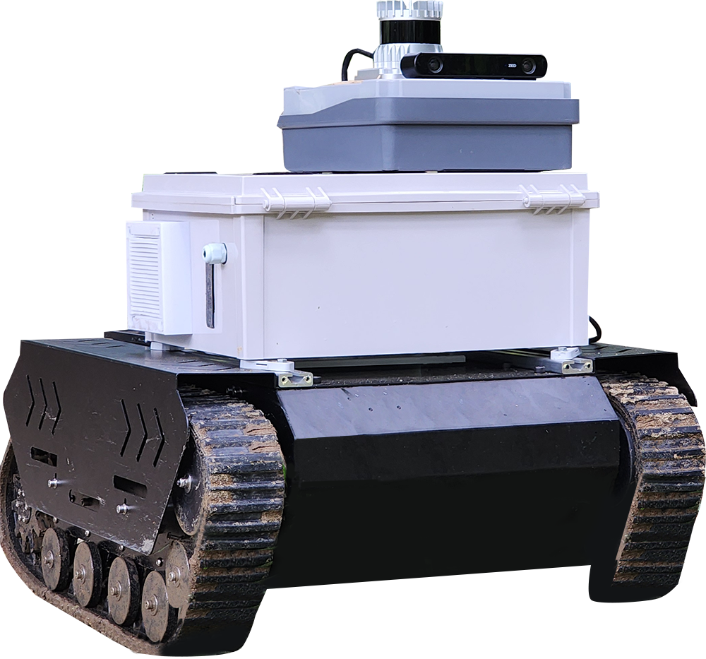
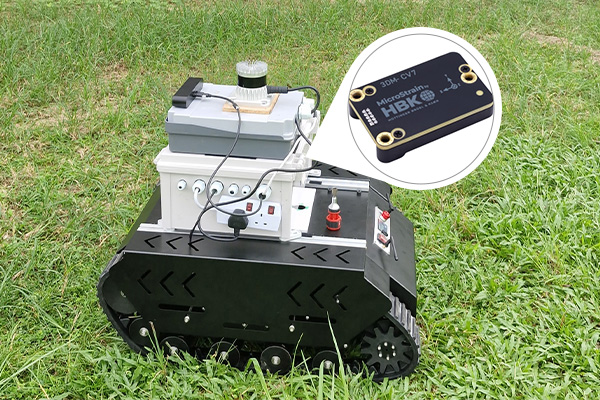
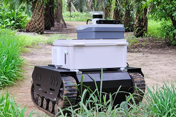
A state-of-the-art outdoor mapping system leveraging 3D LiDAR and industrial-grade IMU for high-precision spatial data in oil palm plantations.
Tamarin the
Modular Mapper
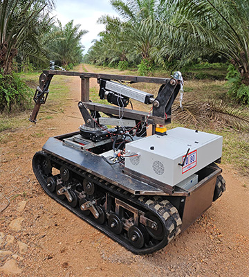
A versatile mapping system adaptable to my moving machine.
Designed specifically for oil palm plantations, the mapping system integrates cutting-edge LiDAR and IMU technologies to deliver robust, real-time 3D mapping. Built on advanced algorithms for precise LiDAR-inertial odometry with minimal drift, it ensures exceptional accuracy and efficiency for large-scale agricultural applications.
Generating detailed 3D maps for better plantation management.
Accurate tree counting and data analysis.
Establishing a baseline for tracking changes over time.
Centimeter-level accuracy with low drift correction, offering seamless scalability for large agricultural areas.